The Best Places to See Fall Foliage in the US
Ranked on how forgiving the color window is, meaning how many days of good color a single trip can land inside, then vote the order into better shape. Three terms go into that. Vertical: a mile of elevation turns the tops weeks before the valleys. Span: a couple of hundred miles of north-south ground turns at one end before the other. Canopy: where the forest is mostly conifer the deciduous show is patchy whatever the relief says, and the place drops for it. A capped ticket or a booked-in-advance reservation breaks ties downward, because rationed access is a different thing from a fee you can pay on the day. There is no national peak weekend: the northern ranges go while the southern Appalachians are still green, and the Smokies are still going once New England has dropped. Single towns are left off, because a town is a base and the color belongs to the region around it.
Blue Ridge Parkway is #1 on “The Best Places to See Fall Foliage in the US”.
- 1
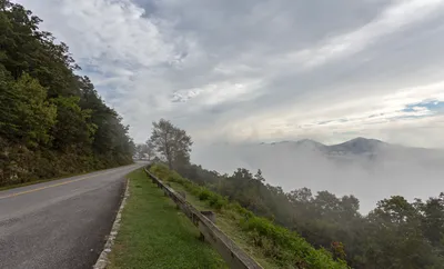
Blue Ridge Parkway
Four hundred and sixty-nine miles of road, mileposted from zero in Virginia to 469 at the North Carolina end, buys the widest color window in the country, because the turn works its way down the ridges over weeks, so a date fixed in advance can still land right somewhere along it. Speed limit never goes above 45 mph, which is the point. The Linn Cove Viaduct was the last piece to open, in 1987.
 Blue Ridge Parkway - Wikipediahttps://en.wikipedia.org/wiki/Blue_Ridge_Parkway
 - 2
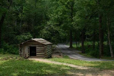
Great Smoky Mountains National Park
Nearly 5,800 feet of vertical, from about 875 feet up to 6,643 at the summit of Kuwohi, is what stretches the color here: high ridges go first and the coves at the bottom go last, weeks apart. Southern latitude keeps it running after New England has dropped. Since March 1, 2023 any vehicle parked longer than 15 minutes needs a parking tag, which you can buy on the day at machines inside the park.
 Great Smoky Mountains National Park - Wikipediahttps://en.wikipedia.org/wiki/Great_Smoky_Mountains_National_Park
 - 3
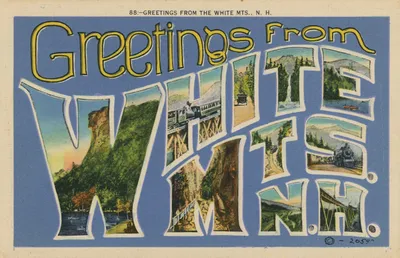
White Mountains, New Hampshire
Vertical is the whole argument for driving this far north. Mount Washington reaches 6,288 feet, more relief than anywhere else in the Northeast, so the tops brown out while the valley floors are still going. Its summit held the world record for a surface wind gust, 231 mph in 1934, for 76 years, and the Mount Washington Cog Railway still climbs to it. The national forest around the range dates to 1911.
 White Mountains (New England) - Wikipediahttps://en.wikipedia.org/wiki/White_Mountains_(New_Hampshire)
 - 4
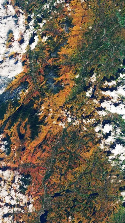
Adirondack Mountains
Six million acres of state park, protected since 1892, sit on a dome roughly 160 miles across, and that width is why the turn takes weeks to cross it rather than days. Drive the Veterans Memorial Highway up Whiteface, open since July 20, 1935, then walk the tunnel to the summit elevator. The road usually runs May to October only, so it shuts for the season about when the color finishes.
 Adirondack Mountains - Wikipediahttps://en.wikipedia.org/wiki/Adirondack_Mountains
 - 5
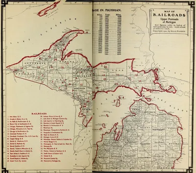
Upper Peninsula of Michigan
At least 31,000 acres of old-growth northern hardwood sit in the Porcupine Mountains, the most extensive stand in North America west of the Adirondacks, and the state park protecting it dates to 1945. Sugar maple that old turns in a block rather than a scatter. Stand on the escarpment overlook above Lake of the Clouds and the canopy below does the work: 29 percent of Michigan's land area, 3 percent of its people.
 Upper Peninsula of Michigan - Wikipediahttps://en.wikipedia.org/wiki/Upper_Peninsula_of_Michigan
 - 6
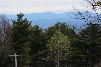
Green Mountains
Vermont's spine runs the length of the state, and so does the Long Trail, 273 miles of it, cut between 1910 and 1930 by the Green Mountain Club, which still maintains it. Take the ridge section over Mount Mansfield, at 4,395 feet the highest ground in Vermont, and the turn arrives from underneath you rather than through a windscreen. North to south, the state gives you a fortnight rather than a weekend.
 Green Mountains - Wikipediahttps://en.wikipedia.org/wiki/Green_Mountains
 - 7
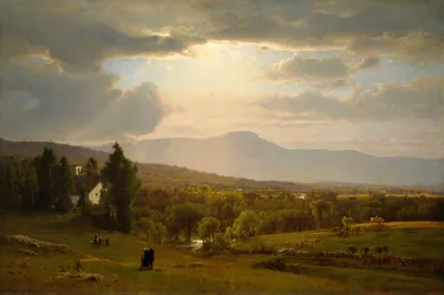
Catskill Mountains
Thomas Cole came up here in October 1825 and painted Kaaterskill Falls, which is how the Hudson River School found its subject and how autumn in these hills got famous. The two-stage drop totals 260 feet. Slide Mountain tops out at 4,180 feet, and the 700,000-acre forest preserve around it is protected under New York state law, so what you look at is close to what Cole looked at.
 Catskill Mountains - Wikipediahttps://en.wikipedia.org/wiki/Catskill_Mountains
 - 8
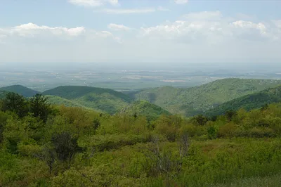
Shenandoah National Park
One ridge, 105 miles of Skyline Drive, 75 overlooks and a 35 mph limit that rangers enforce strictly. The geometry is narrow, so the window here closes faster than the Parkway's. Old Rag is the walk everyone wants in October and it takes a day-use ticket: 800 released each day, required from March 1 through November 30, bought online before you arrive. Federal protection dates to December 26, 1935.
 Shenandoah National Park - Wikipediahttps://en.wikipedia.org/wiki/Shenandoah_National_Park
 - 9
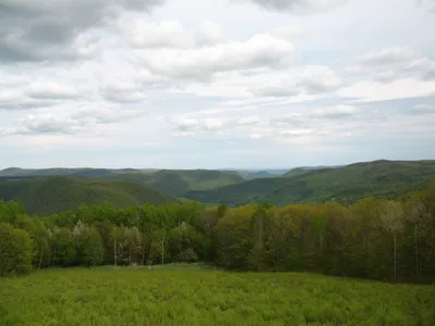
Berkshires
Ninety-eight miles of highland running north to south across western Massachusetts and into northwestern Connecticut is a short enough span that both ends turn within days of each other, so plan on one good week, not three. Climb the 93-foot Veterans War Memorial Tower on Mount Greylock, approved in 1930 and finished two years later, and eight observation windows give you the range at once. The summit road is seasonal.
 Berkshires - Wikipediahttps://en.wikipedia.org/wiki/Berkshires
 - 10
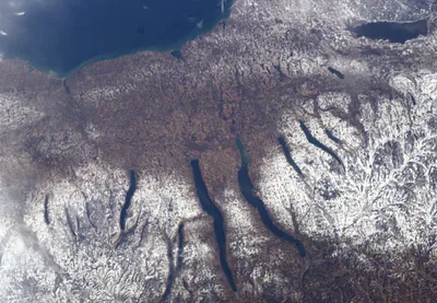
Finger Lakes
Deep water holds heat, and Seneca goes down 618 feet with a bottom below sea level, enough to keep its shoreline going once the hills inland have dropped. Eleven lakes, more than 400 wineries around them, vineyard rows turning yellow on the slopes. Walk the Gorge Trail at Watkins Glen, more than 800 stone steps past nineteen waterfalls, open to the public since 1863, and the color is over your head.
 Finger Lakes - Wikipediahttps://en.wikipedia.org/wiki/Finger_Lakes
 - 11
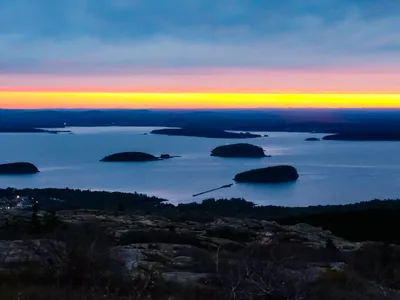
Acadia National Park
Fire beginning on October 17, 1947 burned more than 10,000 acres of the park, and the birch and aspen that grew back are why the color reads brighter than the spruce coast around it. Access is the catch: a Cadillac Summit Road vehicle reservation was required through October 25 in 2026, sold on Recreation.gov only. Salt air keeps this coast turning later than inland Maine, which is why it beats the Kancamagus.
 Acadia National Park - Wikipediahttps://en.wikipedia.org/wiki/Acadia_National_Park
 - 12
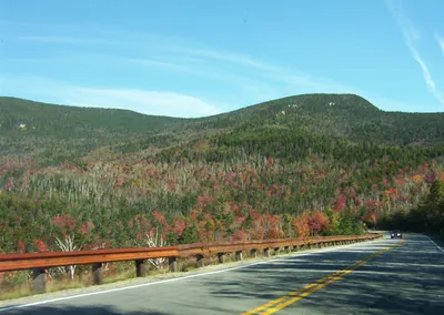
Kancamagus Highway
Maps and signs call this road New Hampshire Route 112, and foliage writing never does. It opened in August 1959 and was not paved until 1964, and 26.5 miles of its 56.39-mile length carry a federal scenic byway designation. The climb over 2,855-foot Kancamagus Pass is where the color and the traffic both concentrate, and an October Saturday here moves at roughly walking pace.
 New Hampshire Route 112 - Wikipediahttps://en.wikipedia.org/wiki/New_Hampshire_Route_112
 - 13
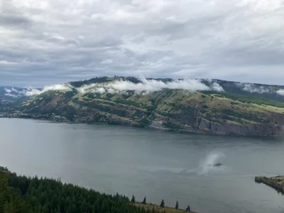
Columbia River Gorge
Conifers run this gorge, so the deciduous color is a minority act, concentrated along the water and the side creeks. Congress made it the second National Scenic Area in November 1986, and it carries the state line between Oregon and Washington. Drive the Columbia River Highway, built in the early 20th century as the first major paved road in the Pacific Northwest, then check what has reopened after the Eagle Creek Fire burned here for three months in fall 2017.
 Columbia River Gorge - Wikipediahttps://en.wikipedia.org/wiki/Columbia_River_Gorge
 - 14
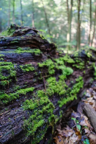
Hocking Hills
Ohio turns last of anywhere here, which makes it the fallback when a northern trip misses. Gorges cut into Blackhand Sandstone do the work, thick weather-resistant rock that stands up as high cliffs and drops away into narrow ravines, with the canopy closing overhead. Five use areas make up the state park, and the quarter-mile path into Ash Cave is wheelchair accessible. Shortest window on this list, so aim late.
 Hocking Hills - Wikipediahttps://en.wikipedia.org/wiki/Hocking_Hills
How this list was ranked
Readers rank this list by voting items up and down. Items are ordered by reader votes.