The Best Beach Towns on the Gulf Coast
Ranked on one measure and one only: how far you go from the middle of town to open Gulf sand. Nothing else moves an entry up or down, so vote it into better shape where you disagree. Storm history sits in every entry because it has to, not because it shifts the order; where an entry says what is standing today, it names the source and the date that source carries. All five Gulf states appear, from the Florida Panhandle to the Texas bays. Four roster towns came off to hold the count. Gulfport is a city of 72,926, four times the size of the largest town kept. Fulton, population 1,523, sits inside the same Aransas County town pair as Rockport, and Rockport was assigned to this list by name. Apalachicola and Port Isabel finished sixteenth and seventeenth on the same measure everything else was ranked on, so they came off rather than ranked in.
Pensacola Beach, Florida is #1 on “The Best Beach Towns on the Gulf Coast”.
- 1
Pensacola Beach, Florida
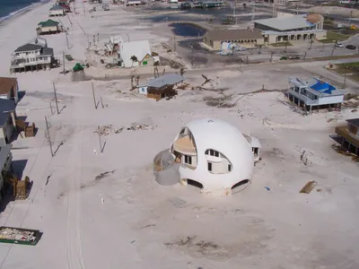
Nobody here owns the ground under their house. A 1947 deed from the Interior Department bars the land from being disposed of, so every structure on Santa Rosa Island sits on a 99-year renewable lease from the island authority. The community core is on the sand between the Gulf and the Sound, and the Pensacola Beach Gulf Pier runs 1,471 feet out from it, described as the longest pier on the Gulf.
 Pensacola Beach, Florida - Wikipediahttps://en.wikipedia.org/wiki/Pensacola_Beach,_Florida
 - 2
Seaside, Florida
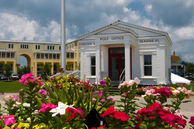
Construction started in 1981 on 80 acres that Robert Davis had inherited from his grandfather three years earlier, with Andrés Duany and Elizabeth Plater-Zyberk drawing the plan. County Road 30A is the only thing between the town square and the water: a crossing, not a drive. Houses are required by rule to differ from their neighbors, and the white spire of the Seaside Chapel, Scott Merrill's, is the one building nobody mistakes for a rental.
 Seaside, Florida - Wikipediahttps://en.wikipedia.org/wiki/Seaside,_Florida
 - 3
Gulf Shores, Alabama
Almost nothing you see predates September 1979, when Hurricane Frederic leveled most of the town. What replaced it is unusually good public land: Gulf State Park covers 6,150 acres and 2.5 miles of white sand across the city's eastern side, with a 1,540-foot fishing pier put up after Ivan and The Lodge, opened in 2018, sitting back behind the dunes.
 Gulf Shores, Alabama - Wikipediahttps://en.wikipedia.org/wiki/Gulf_Shores,_Alabama
 - 4
Mexico Beach, Florida
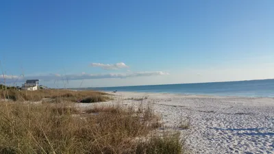
Bids for a replacement pier were still going out in October 2025, with the Corps of Engineers permit unissued, seven years after 160 mph winds came ashore on 10 October 2018 and FEMA declared the community wiped out. Nearly all homes were totally destroyed. What has come back is Sunset Park at 1813 U.S. 98, redone from the dune line up, with U.S. 98 running the length of the sand.
 Mexico Beach, Florida - Wikipediahttps://en.wikipedia.org/wiki/Mexico_Beach,_Florida
 - 5
Grand Isle, Louisiana
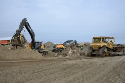
Only one beach on the Louisiana Gulf Coast is state-owned and operated, and it is out at the east end of the island. Grand Isle State Park reopened on 1 June 2023, campsites first, with beach camping still closed. Ida's eastern eyewall had crossed on 29 August 2021, and 100 percent of the town's structures were damaged and 40 to 50 percent destroyed outright.
 Grand Isle, Louisiana - Wikipediahttps://en.wikipedia.org/wiki/Grand_Isle,_Louisiana
 - 6
Anna Maria, Florida
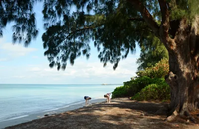
Incorporated in 1923, this is a 0.86-square-mile city on the north end of its island, Gulf on one side and Tampa Bay on the other, with 968 residents at the 2020 census. Go now and the Anna Maria City Pier is a construction site: Helene and Milton wrecked it in 2024, crews were still driving piles in May 2026, and October 2026 is the target.
 Anna Maria, Florida - Wikipediahttps://en.wikipedia.org/wiki/Anna_Maria,_Florida
 - 7
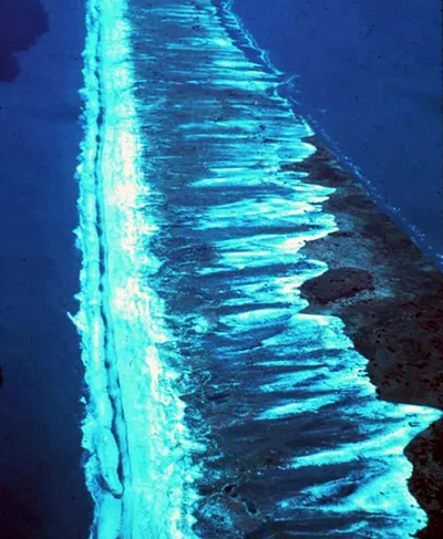
Dauphin Island, Alabama
A barrier island town that didn't incorporate until 1988, narrow enough that the water is never the problem; the distances between its landmarks are. Fort Gaines holds the eastern tip, built between 1821 and 1848, beside the Dauphin Island Sea Lab and the vehicle ferry across to Fort Morgan. The Gordon Persons Bridge is the sole road connection, so arrive over it and leave by ferry.
 Dauphin Island, Alabama - Wikipediahttps://en.wikipedia.org/wiki/Dauphin_Island,_Alabama
 - 8
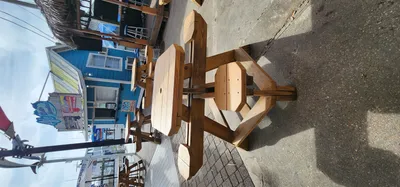
Destin, Florida
Named for Leonard Destin, a fishing captain from New London, Connecticut who settled here between 1845 and 1850, the town did not incorporate as a municipality until 1984. Its center is the harbor, on the bay side, with the beaches a few blocks south. East Pass, the only outlet from Choctawhatchee Bay into the Gulf, is where the charter fleet lines up each morning.
 Destin, Florida - Wikipediahttps://en.wikipedia.org/wiki/Destin,_Florida
 - 9
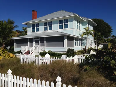
Boca Grande, Florida
Phosphate shipping ended in 1979 when the rail line was abandoned; the community bought the bed from CSX and made it the Bike Path that runs the island's length. Ian left the Port Boca Grande Lighthouse with severe structural and water damage in September 2022, and its museum has reopened twice since, in February 2024 and then on 5 May 2025. The village sits a few blocks back from the Gulf.
 Boca Grande, Florida - Wikipediahttps://en.wikipedia.org/wiki/Boca_Grande,_Florida
 - 10
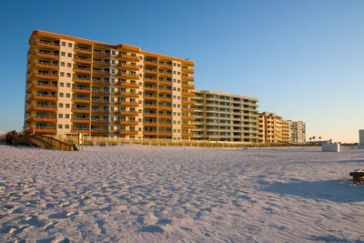
Orange Beach, Alabama
Easternmost of Alabama's coastal communities, it runs right up to the Perdido Key state line across 15.9 square miles, 1.2 of them water. The center of gravity isn't the Gulf at all. It's The Wharf on the back bay, where a 112-foot Ferris wheel turns above the marina. Sand here is a deliberate drive south, to whichever beach access still has parking.
 Orange Beach, Alabama - Wikipediahttps://en.wikipedia.org/wiki/Orange_Beach,_Alabama
 - 11
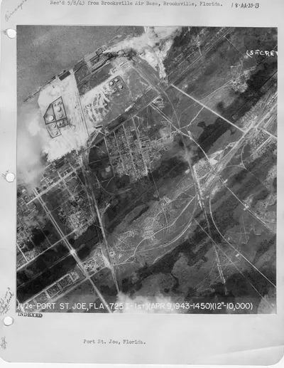
Port St. Joe, Florida
The Port Theatre has been open since 1938 and was still fundraising for its restoration when its own site was read in August 2026, which is a fair marker of how much is left: the same 10 October 2018 storm that wrecked Mexico Beach up the coast damaged this town extensively. City limits extend into St. Joseph Bay, so the water downtown is bay water, not surf.
 Port St. Joe, Florida - Wikipediahttps://en.wikipedia.org/wiki/Port_St._Joe,_Florida
 - 12
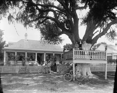
Bay St. Louis, Mississippi
Cross the US 90 bridge on foot and you get the whole waterfront from out over the water; the replacement span opened on 17 May 2007 carrying a 12-foot path for pedestrians and cyclists on the Gulf side. Katrina's final landfall came just west of town at 10 a.m. on 29 August 2005, and a 28-foot storm surge dropped sections of the bridge it replaced.
 Bay St. Louis, Mississippi - Wikipediahttps://en.wikipedia.org/wiki/Bay_St._Louis,_Mississippi
 - 13
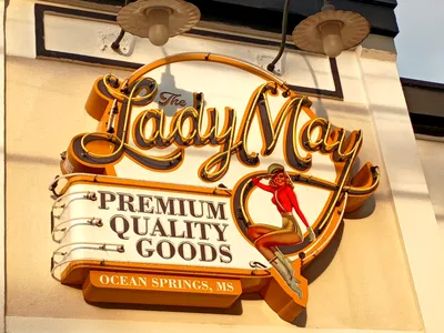
Ocean Springs, Mississippi
French colonists began Fort Maurepas here in April 1699, which makes this the older half of the Biloxi story. Katrina destroyed many shoreline buildings on 29 August 2005 and took the Biloxi Bay Bridge with them; the replacement reopened to traffic on 1 November 2007. The Peter Anderson Festival has run since 1978 and fills downtown the first weekend of November, the weekend to dodge if you want quiet.
 Ocean Springs, Mississippi - Wikipediahttps://en.wikipedia.org/wiki/Ocean_Springs,_Mississippi
 - 14
Rockport, Texas
Sand here means Rockport Beach, on Little Bay rather than the Gulf, where a vehicle costs $10 a day to park and walking or cycling in is free. Harvey came ashore as a Category 4 on 25 August 2017 and destroyed entire blocks; a year on, about 20 percent of the population still could not get home. The Rockport Center for the Arts finished construction in late 2022.
 Rockport, Texas - Wikipediahttps://en.wikipedia.org/wiki/Rockport,_Texas
 - 15
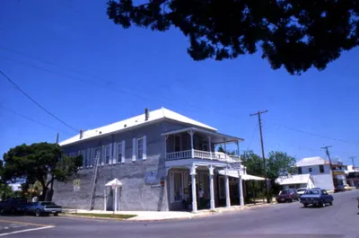
Cedar Key, Florida
Clam aquaculture is the multimillion-dollar industry here, which tells you sand is barely the point; 687 people lived in town at the 2020 census. Two record surges landed inside thirteen months, Idalia at 6.8 feet in 2023 and Helene at 9.2 feet in 2024. WUFT reported in May 2026 that several restaurants and the grocery store are still gone, while the Island Hotel, built in 1859, came through with minimal damage.
 Cedar Key, Florida - Wikipediahttps://en.wikipedia.org/wiki/Cedar_Key,_Florida
How this list was ranked
Readers rank this list by voting items up and down. Items are ordered by reader votes.